Managing sunflowers
Managing sunflowers
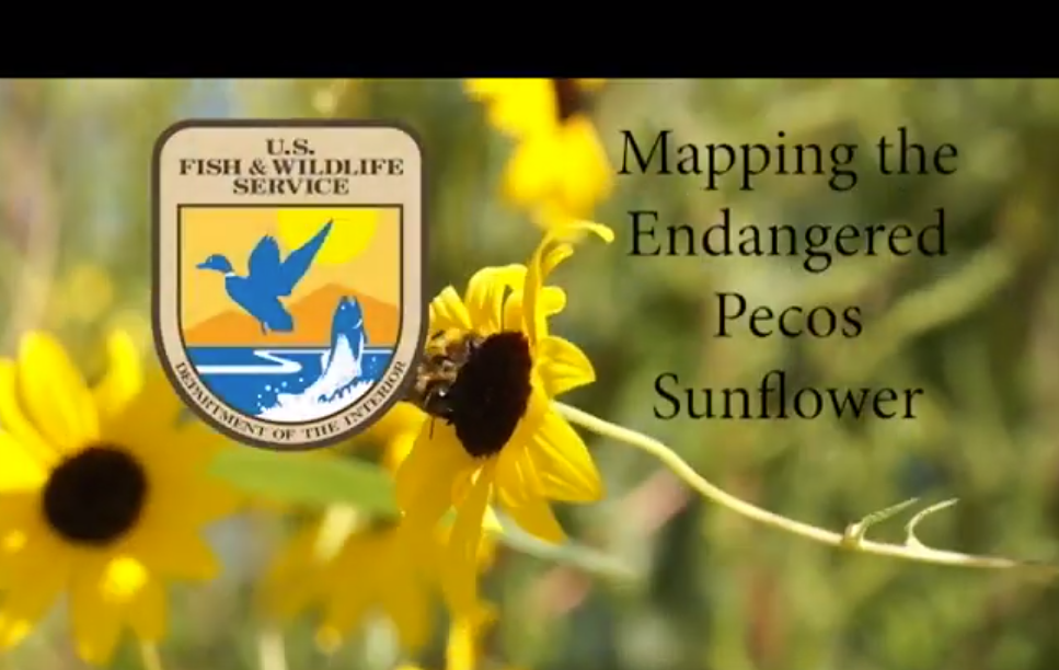
In addition to juggling classes, research and his masters thesis work, GES graduate student Anthony Meluso has been working as a conservation videographer for the U.S. Fish and Wildlife Service. Most recently, Meluso released a video on how scientists are mapping the Pecos sunflower using GPS technology at Bitter Lake National Wildlife Refuge. In the video, Jeff Beauchamp, refuge biologist, explains why the Pecos sunflower is important, and how they’re trying to conserve the flower, promote germination, and also remove invasive species that outcompete the flower. Now, they’re mapping the distribution of the sunflower on one section of the refuge. David Weber, a student conservation intern, walked the perimeter of where the sunflowers are growing with his cell phone, and they created a data map through Collector for ArcGIS. Then, they could pull up the information back at the office, look at the plant’s distribution and also start tracking it through time. For Meluso, the best part of the project was getting to know some of the scientists. “I really enjoyed meeting the behind the scenes folks at USFWS that drive federal conservation work in the Southwest,” he said.
To watch the video, visit: https://www.youtube.com/watch?v=g2ewLn2tpZY&feature=youtu.be
